Analysis with QGIS
To learn how to do raster and vector GIS analysis, joining the power of tools like GRASS, SAGA, Orfeo ToolBox, etc. with the ease of use of QGIS.
The course is aimed to who wants to learn how to use the GIS to do predictive analysis. Is adviced to have at least basic knowledge about SIG software.
We suggest to have a basic knowledge about QGIS.
Course outline
- Various alternatives for analysis in QGIS
- Basic vector analyses
- dissolve, merge, overlay, attribute management, etc.
- Correction of topological errors and vector generalization
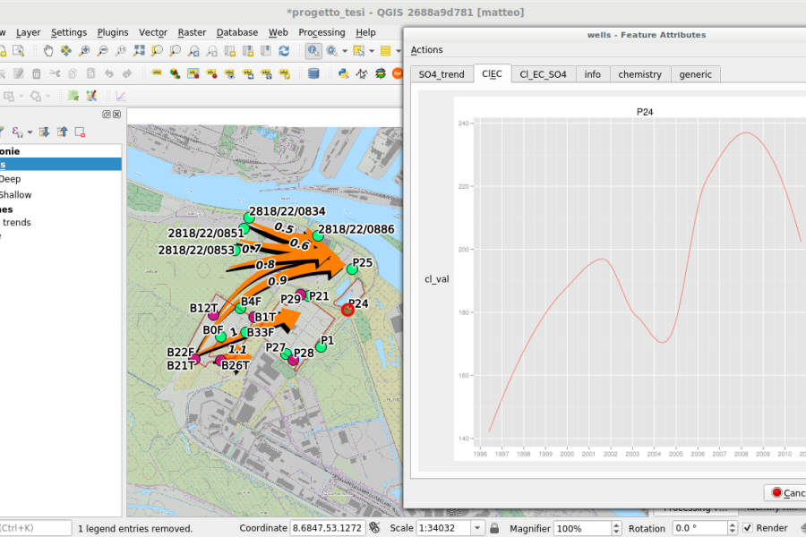
- Raster analysis
- geomorphology analyses: digital terrain modules, contour, slope, aspect, shaded maps
- Interpolations
- distance analysis
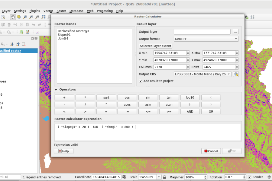
- reclassification of rasters, map algebra
- zonal statistics
- examples: intervisibility, multicriteria analyses; priority and* risk maps
- Image analysis
- unsupervised, automatic land use classification, feature extraction
- feature extraction
- Projection management
- Raster and vector calculators
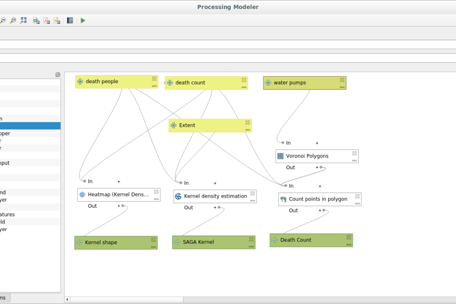
- Modelling through a graphical interface
- Recursive and batch analyses through a graphical interface
- Scripts for automatic processing
Length
16 hours split in 4 half days